| Wählen Sie die deutsche Sprache |
The old Mercator's map accompanied 400 years of european world domination
The Area Distortion of the Mercator-Projection
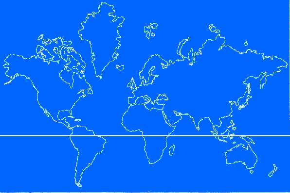
At the beginning of the age of discovery, in 1569, Mercator
produced a map for seafarer which facilitates navigation. But it also distorts relative
proportions of countries, continents, and oceans. Two thirds of the map cover the northern
hemisphere, whereas the southern hemisphere is pressed into tht lower third of the map.
His special map, useful as it is for navigation, is therefore unsuitable for general use.
Mercator himseif used for his atlas a modified map of the world with greater fidelity of
area.
But the age of discovery became the age o Europeanization of the globe. With it
Mercator‘s map became the general world map which it is still today. For this map
distorted the earth in favour of Europe, which appear unnaturally large and was placed in
centre ot the map. Thus it fulfilled Europe‘ latent wishful thinking of being
respected the centre of the world.
The age of European world domination past. And with the Peters-Map we have at our disposal
a world map which shows all countries, continents, and oceans in their factual size. That
means that Mercator‘s map definitely lost its right to exist.
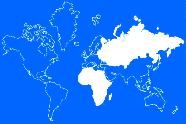
The Soviet Union appears considerably larger than Africa (30 million km²) but in reality it is smaller (exactly 22,4 Millionen km²)
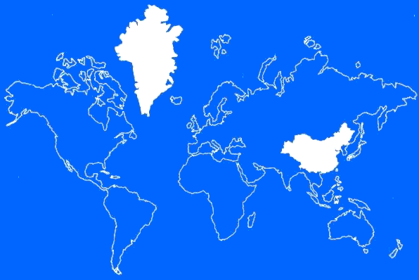
Greenland appears with its 2.1 million km² considerably larger than China, which is with 9.5 milliom km² in reality well more than four times as large.
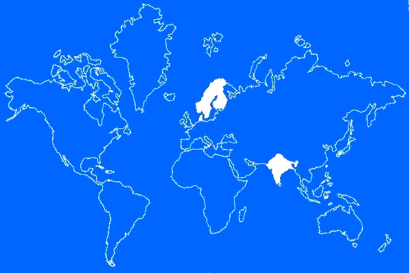
Scandinavia, with its 1.1 million km², appears as large as India, which is wth its 3.3 million km² in reality three times as large.
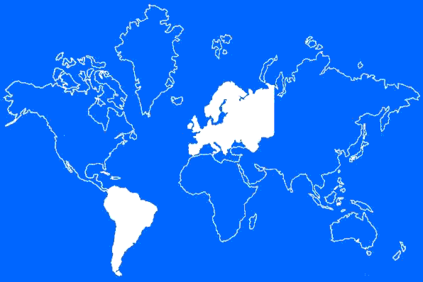
Europe appears with its 9.7 million km² larger than South America, which is with ist 17.8 million km² in reality nearly twice as large.
The Area Distortion of the
Mercator-Projection
Please report all broken LINKS, thank you.
This is a private homepage with absolutely no commercial intentions.
Copyright © Jürgen Heyn 2001, All rights reserved
Date of last amendment: 03. August 2003